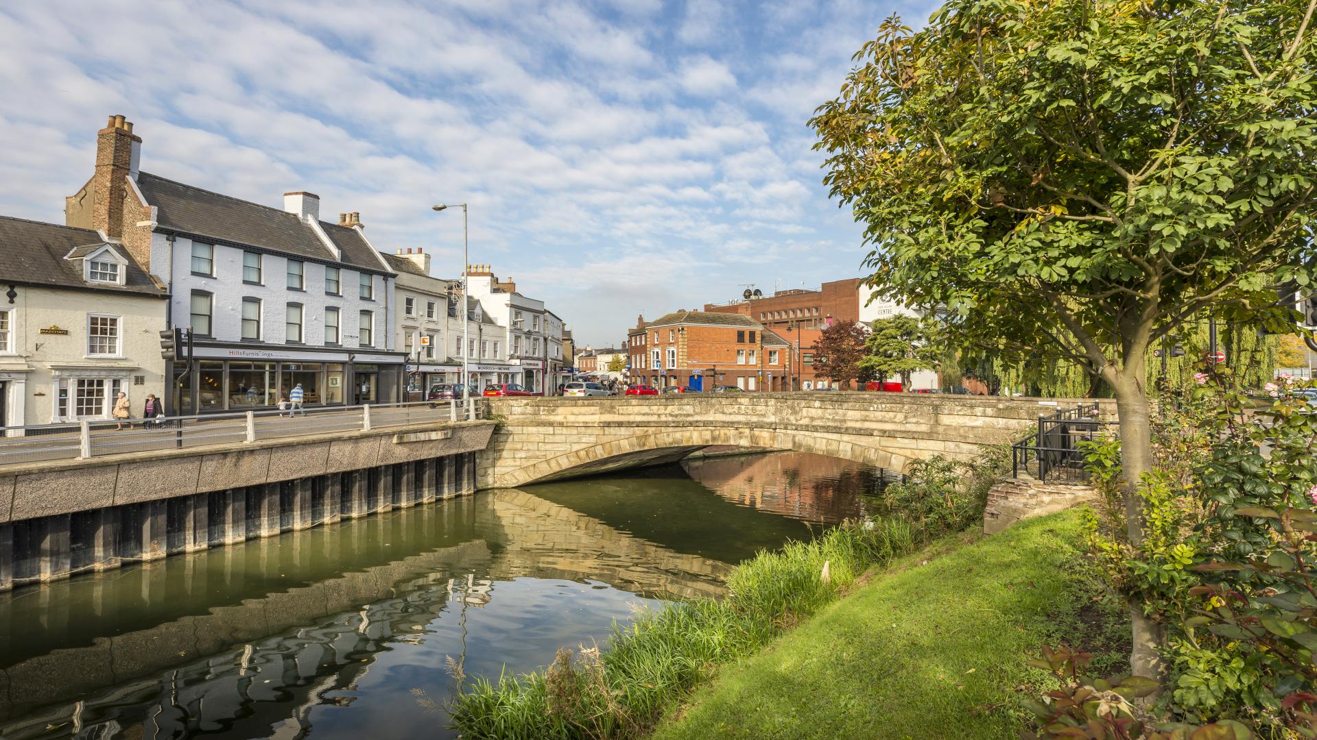
The 14-day study in Spalding, Holbeach and their surrounding villages, which will measure traffic flows through the area, started on Thursday 8 May.
Monitoring equipment, including tubes and cameras to record traffic, has been set-up across Spalding, Holbeach and the surrounding area, covering over 90 locations in the town and its surrounding area. These will be in place until Wednesday 21 May.
Once all of the information has been collected, a team of analysts will check, process and review all of the data, ready for it to be incorporated into a new traffic model for Spalding and Holbeach that will feed into an updated version of the Spalding Transport Strategy in the coming years.
Karen Cassar, assistant director for highways, said: “By collecting up-to-date traffic flow and journey time statistics using a range of data-gathering tools, we can use the intelligence we gather to help reduce delays and congestion in the town centre.
"Once completed, the new traffic model will also be used in an updated version of the Spalding Transport Strategy.”