For the second in our series, we’re going to Caistor
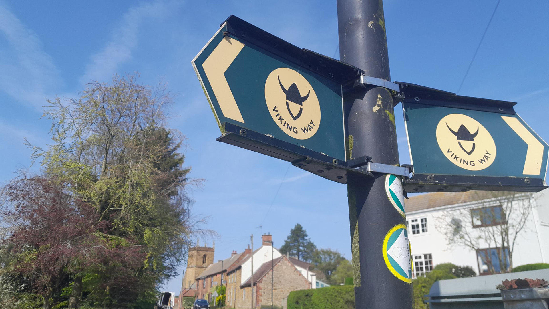
This month’s pick of perfect places to partake in the Viking Way takes you to Caistor with a neat 3.75‑mile loop that links the town to Nettleton right on the edge of the Lincolnshire Wolds.
It’s an easy walk that will suit most people, making it another ideal way to dip into the Viking Way without signing up for the full 149-miles. Because, let’s face it – no matter who you are, that’s a lot of walking, right?
Here’s the details:
A taste of the Viking Way
The route uses a section of the long‑distance trail, giving you a feel for the landscape it crosses. It’s short, simple and ideal if you want a quick outing with a bit of history attached.
A town with a past you can still see
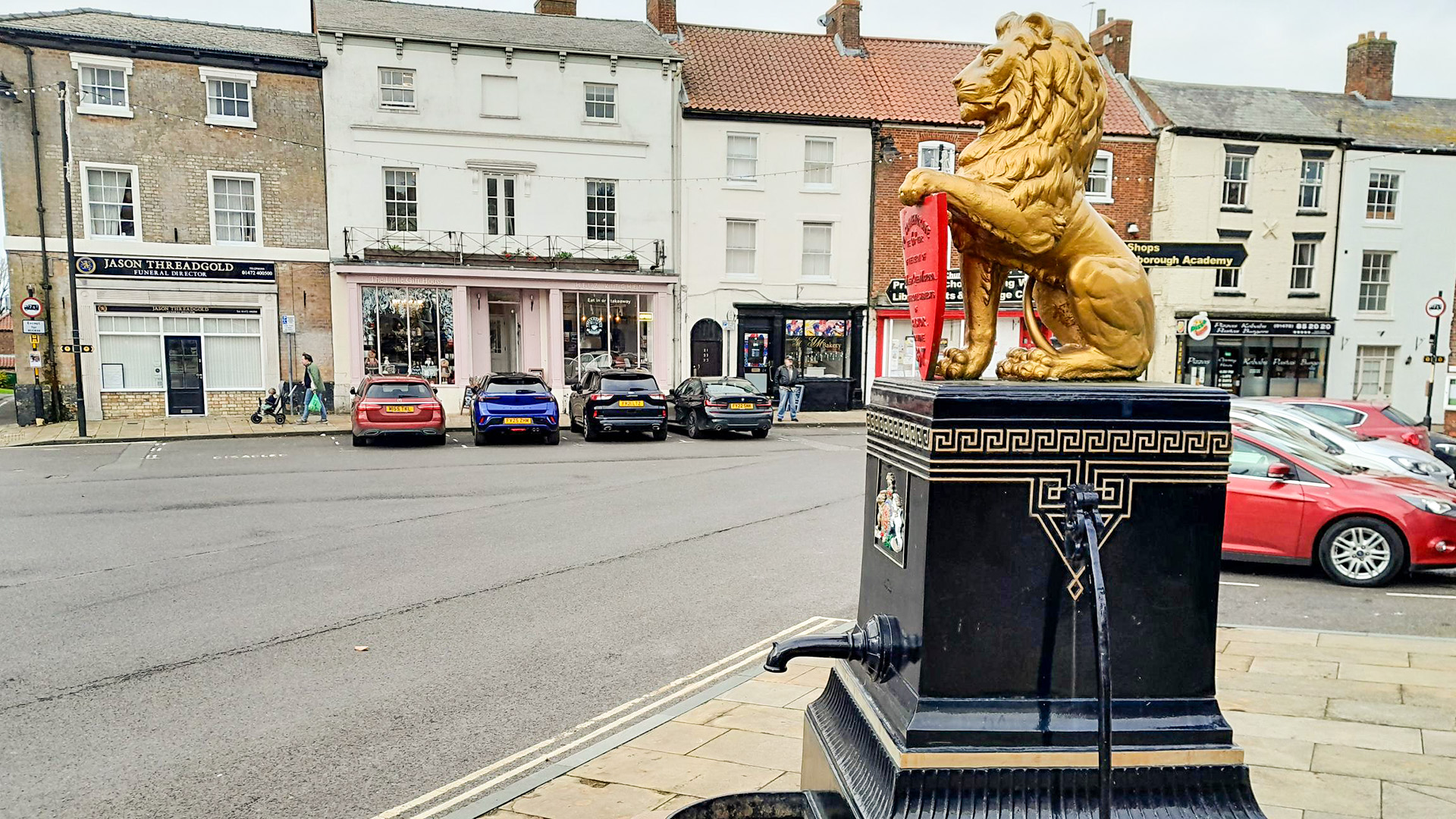
Caistor was once a Roman fortified town. It had a defensive wall around it and parts of that wall are still visible on this walk. The Market Place is the centre of things, marked by a lion statue sitting on a water pump that was put up in 1897 for Queen Victoria’s Diamond Jubilee. The streets around it are lined with Georgian and Victorian buildings and much of the town is a Conservation Area.
A new stretch to explore
The walk includes a recently created section of the Viking Way. It was added last year to make crossing the Caistor bypass road safer, so you’ll be stepping onto one of the newest pieces of the trail.
Something for families
If you’re taking children, grab the I Spy sheets or tick off a few items from the 50 Things list on the website. It keeps the walk lively and gives younger ones some specific things to look out for along the way.
Walk with a group
Anyone who prefers company can join a guided walk on 20 May. It’s led by the County Council’s Rights of Way team as part of the Lincolnshire Wolds Outdoor Festival. Details are on the festival site.
Where to find everything
Maps, I Spy sheets, the 50 Things list and more circular routes are all on the Viking Way page at Visit Lincolnshire.
Viking Way facts (because we can never have too many!)
- The Viking Way was created in 1976 and runs for 149 miles from the Humber estuary to Oakham in Rutland
- It was developed by Lincolnshire, Leicestershire and Humberside County Councils with support from The Ramblers
- The name reflects the area’s links to the Danelaw in the late ninth century, when Lincolnshire formed part of historic Mercia
- The route passes through some of the county’s best landscapes, including the Lincolnshire Wolds National Landscape, the Lincolnshire Limewoods, the cliff villages south of Lincoln and the Kesteven Uplands