For the third outing in our ongoing series in the great outdoors, we’re off to Boothby Graffoe for a swift 5.5-miler
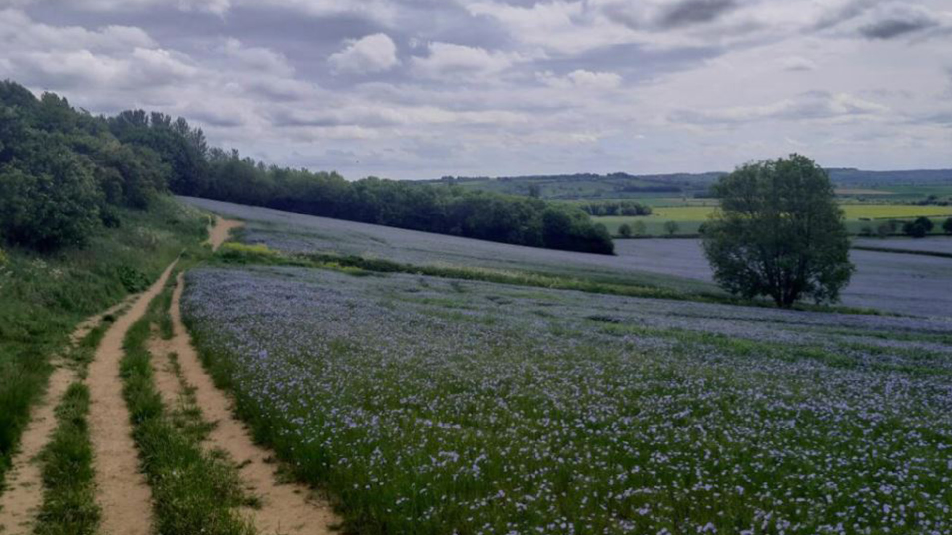
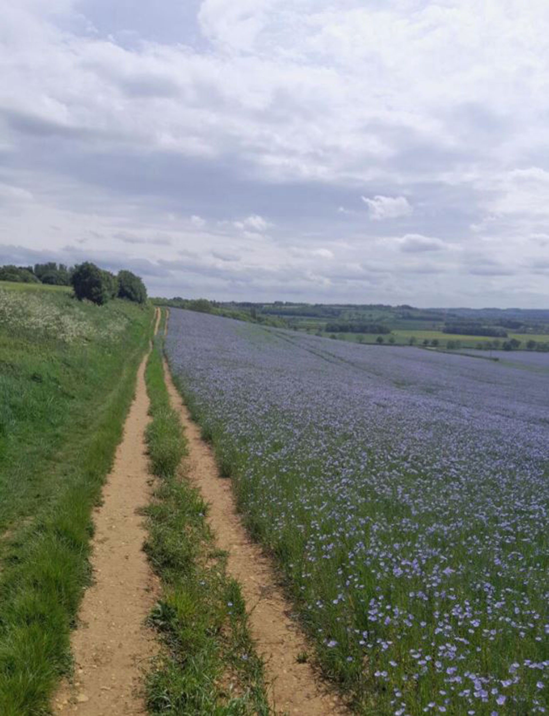
This month’s memorable moment of movement through the county’s chunk of the Viking Way takes you to Boothby Graffoe, Navenby and Coleby with a 5.5‑mile circular route that links three of Lincolnshire’s most striking cliff‑top villages.
It’s an easy walk that suits most people, giving you another way to dip into the Viking Way without signing up for the full 149 miles. We've said it before, that’s a serious amount of walking for anyone, and it’s terrific – but if you fancy something a bit more biteable of a morning or afternoon, then try this.
Here’s the details:
This route uses a section of the long‑distance trail, so you get a feel for the landscape it crosses. It’s short enough to manage without planning your whole day around it, but long enough to feel like you’ve been somewhere.
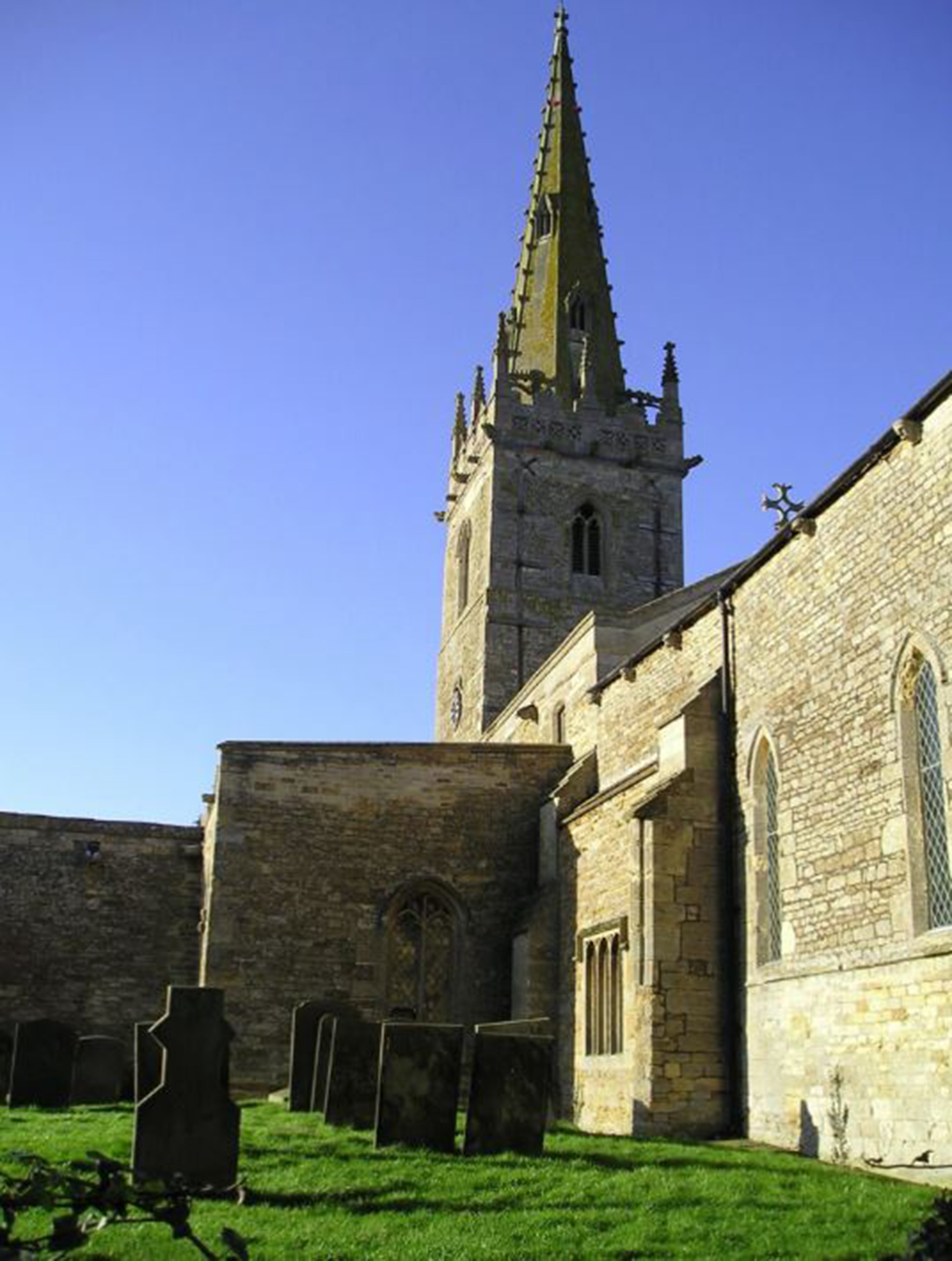
Villages with history in the stone, Boothby Graffoe, Navenby and Coleby sit along the limestone edge south of Lincoln. Many of the buildings are made from the local stone and the villages have that mix of character and age that comes from being perched on a dramatic escarpment. When you’re on the Viking Way section, the views stretch out across the Trent Vale and remind you just how high the cliff villages sit.
Part of the route follows Ermine Street, the Roman road that once linked London with Lincoln and York. It’s one of those stretches where the history is still there in the line of the track and the feel of the ground under your feet.
Start wherever you like
You can begin the walk in any of the three villages. Each one has its own character and all link neatly into the circular route.
Something for families
If you’re taking children, grab the I Spy sheets or tick off a few items from the 50 Things list on the Visit Lincolnshire website. It keeps the walk lively and gives younger ones something to look for along the way.
Where to find everything
Maps and directions (and more circular routes), and all the above are on the Viking Way page at: VisitLincolnshire.com.
Viking Way facts (That will win you a pub quiz! Well, maybe not, but these things are still good to know...)
- The Viking Way was created in 1976 and runs for 149 miles from the Humber estuary to Oakham in Rutland.
- It was developed by Lincolnshire, Leicestershire and Humberside County Councils with support from The Ramblers.
- The name reflects the area’s links to the Danelaw in the late ninth century, when Lincolnshire formed part of historic Mercia.
- The route passes through some of the county’s best landscapes, including the Lincolnshire Wolds National Landscape, the Lincolnshire Limewoods, the cliff villages south of Lincoln and the Kesteven Uplands