
Fancy a wonderful wander around Donington on Bain this August?
This month’s Viking Way at 50 walk takes you into the Lincolnshire Wolds for a 4.4 mile circular route that links some of the most peaceful countryside in the county.
It’s a gentle ramble that is easy to join from Donington on Bain and gives you a good feel for this part of the Viking Way, without having to take on the full 149 mile stretch. In short, it is a perfect short walk.
Donington on Bain is a pretty village set among rolling Wolds hills. It has that quiet charm you often find in places shaped by centuries of farming and rural life. The walk climbs gradually out of the village and as you gain height the views open up across the Wolds.
It is a lovely stretch of countryside and a great place to explore in summer.
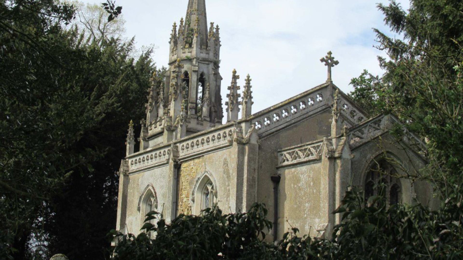
From here the route heads towards Biscathorpe, the site of a deserted medieval village. Very little of the old settlement remains today, but the landscape still carries that sense of ‘proper’ local history. The small Gothic style church stands alone in the fields and adds to the atmosphere of the place.
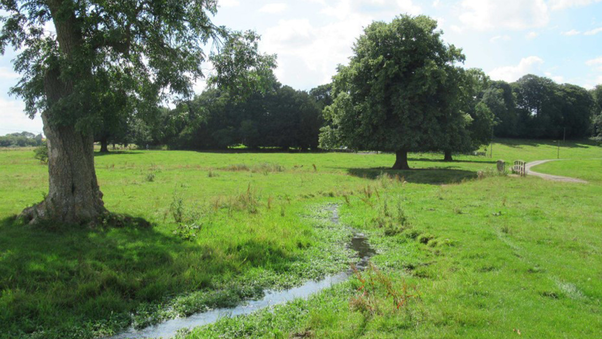
At Biscathorpe the walk joins the Viking Way and follows the River Bain which is well worth the effort on it’s own because the Bain is a chalk stream - a rare habitat that supports unusual wildlife in its clear water. It's a real joy of the county with the village of Biscathorpe sitting close to the river and within the wider Wolds landscape. Chalk streams are one of the most distinctive features of this part of Lincolnshire and the Bain is a good example of how these waterways shape the countryside.
Between Biscathorpe and Donington on Bain the route stays close to the Viking Way, with open views across the fields and plenty of chances to spot wildlife.
For full details including map and directions go Viking Way Shorts Donington On Bain Walk - Visit Lincolnshire.
If you are doing this walk with the family, make sure you go to Visit Lincolnshire and grab the Donington on Bain Activity Sheet and Wordsearch or see how many items you can tick off from the Viking Way I Spy sheets. They are a good way to keep younger walkers involved. Maps, directions and activity sheets are all available on the Viking Way page at VL, so check the whole thing out before you head off on this, or any, walk.
And if you are taking part in the Viking Way badge challenge, this 4.4 mile loop can count towards your total. Walk 50 miles for a bronze badge, 100 miles for silver and all 149 miles for gold.
Viking Way Facts
- The Viking Way was created in 1976 and runs for 149 miles from the Humber estuary to Oakham in Rutland
- It was developed by Lincolnshire, Leicestershire and Humberside County Councils with support from The Ramblers
- The name reflects the area’s links to the Danelaw in the late ninth century when Lincolnshire formed part of historic Mercia
- The route passes through some of the county’s best landscapes including the Lincolnshire Wolds National Landscape, the Lincolnshire Limewoods, the cliff villages south of Lincoln and the Kesteven Uplands