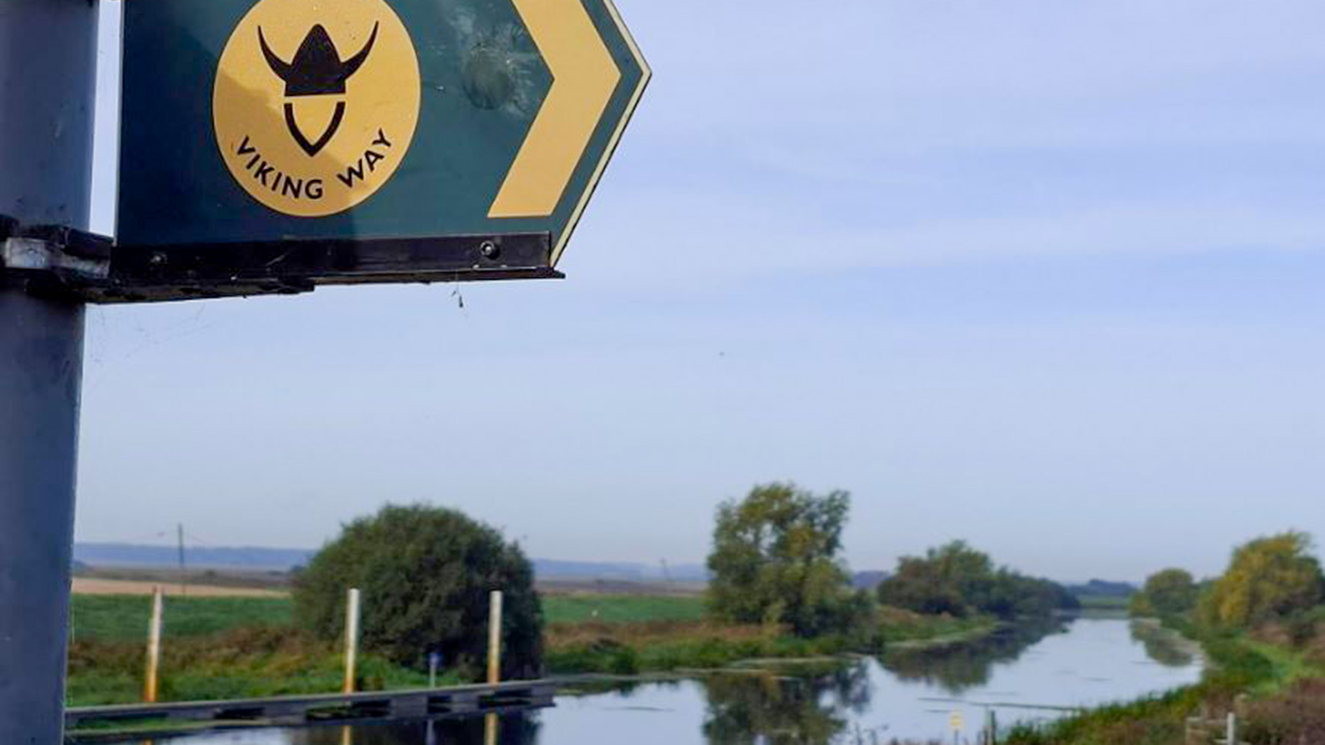
If you're after an easy autumn walk this October then this month's 'Viking Way at 50' route has been made for you.
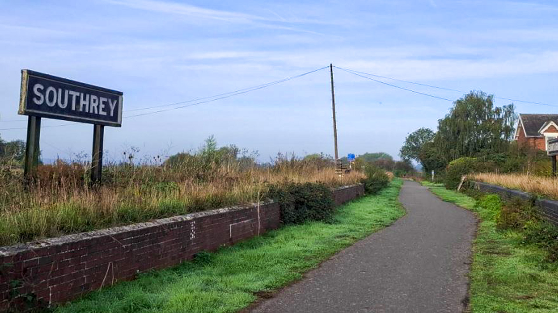
Following a peaceful stretch of the Water Railway between Southrey and Stixwould, it's a short, straightforward walk that packs in riverside views, local history and plenty of opportunities for wildlife spotting.
At 1.7 miles each way, it's one of the shorter walks featured in the series and forms part of the Countryside for All collection. These routes have been designed to be accessible to as many people as possible, with detailed information available on path surfaces, widths, gradients and other features to help walkers choose a route that suits them.
Unlike many of the walks featured so far, this one is linear rather than circular. That means you can simply walk as far as you like before turning back, making it one of the most flexible routes on the Viking Way. Whether you're looking for a gentle stroll, a family outing or a slightly longer walk by combining it with neighbouring sections, it's easy to make the route your own.
The trail follows both the Viking Way and the Water Railway, running along the former Lincoln to Boston railway line beside the River Witham. While the trains disappeared long ago, the route has found a new life as a traffic-free path linking communities and providing a peaceful corridor through the Lincolnshire countryside.
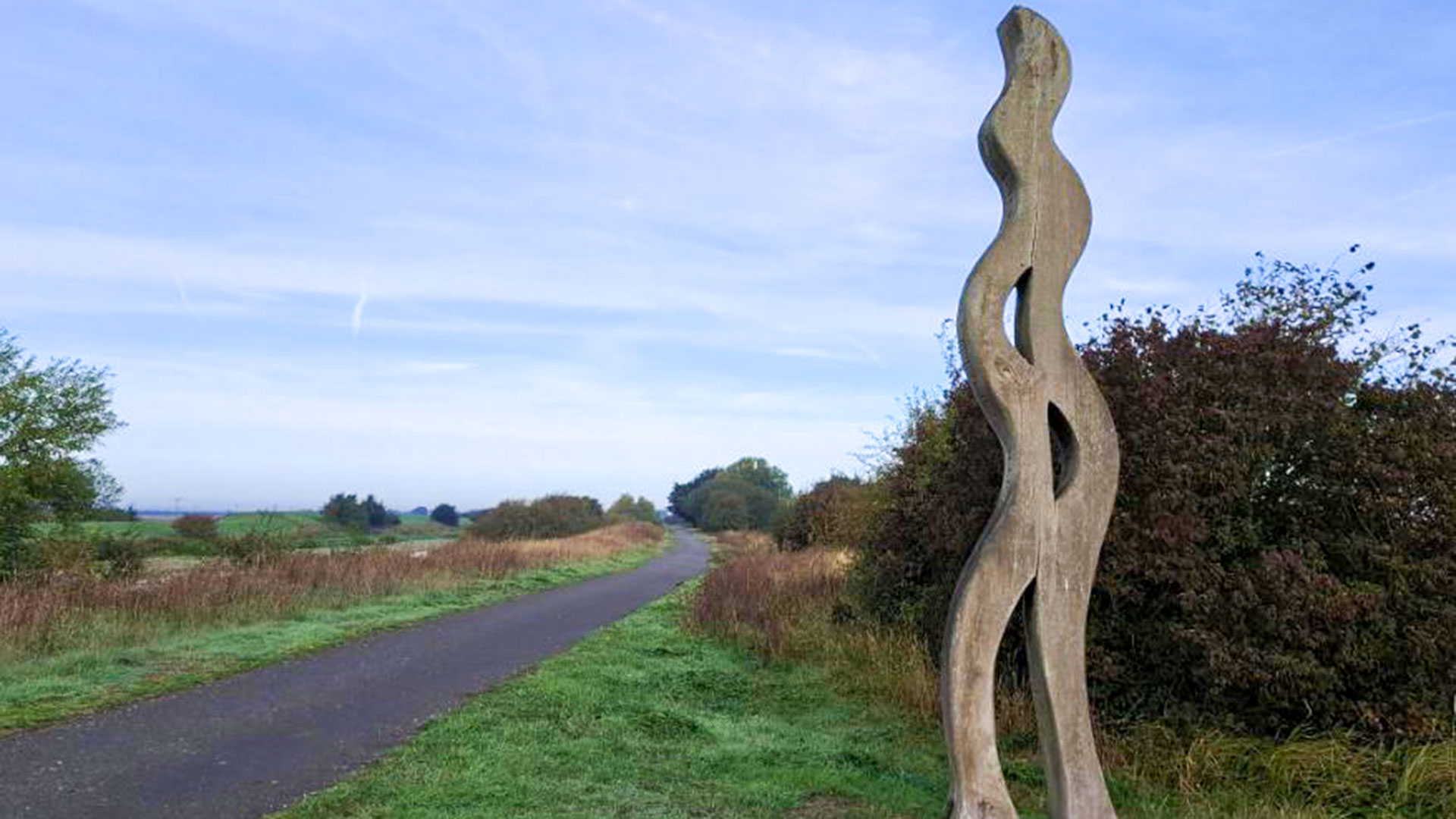
One of the highlights along the way is a striking piece of artwork inspired by the poetry of Alfred, Lord Tennyson. It is one of a collection of sculptures dotted along the Water Railway, each reflecting the heritage, wildlife and character of the area. They provide a welcome excuse to pause for a moment and appreciate the landscape that inspired them.
The River Witham remains a constant companion for much of the walk. Rising south of Grantham, the river makes its way through Grantham and Lincoln before continuing to Boston and eventually reaching the Wash. Along its course it supports a rich variety of wildlife, so it's worth slowing down and keeping an eye on the water, riverbanks and surrounding vegetation. You never know what might appear.
October is a particularly good time to enjoy this stretch of countryside. As the seasons begin to change, the riverside scenery takes on a different character, with autumn colours starting to appear and wildlife preparing for the colder months ahead. The flat, easy-going nature of the route means there's plenty of time to relax and take it all in.
Don't forget, if you're heading out with children, to take along the Viking Way I-Spy sheets or the list of 50 Things to Look Out For along the Viking Way. They are a great way to keep younger walkers engaged and add an extra sense of adventure to the day. Maps, directions and activity sheets can all be found on the Visit Lincolnshire website before you set off.
And if you're taking part in the Viking Way badge challenge, every mile counts towards your target. Walk 50 miles for bronze, 100 for silver and the full 149 miles for gold. This route may be one of the shorter ones, but it all adds up.
Viking Way at 50. Here's what's what with the route behind the walks
The Viking Way was created in 1976 and runs for 149 miles from the Humber Estuary to Oakham in Rutland. It was developed through a partnership between Lincolnshire, Leicestershire and Humberside County Councils, working alongside The Ramblers.
Its name reflects the area's links to the Danelaw in the late ninth century, when Lincolnshire formed part of historic Mercia.
Today, the route passes through some of the county's most memorable landscapes, including the Lincolnshire Wolds National Landscape, the Lincolnshire Limewoods, the cliff villages south of Lincoln and the Kesteven Uplands, offering walkers a chance to experience the remarkable variety of countryside that Lincolnshire has to offer.